- Details
- Hits: 3007
Station: Moore, MI

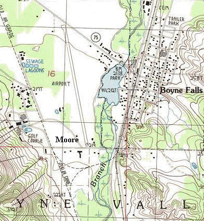
 Moore was a location just southwest of Boyne Falls in Charlevoix County on the Boyne City, Gaylord & Alpena railroad. A wye and connections were located at Moore which extended east about 1/4 mile to a connection with the Grand Rapids & Indiana railroad.
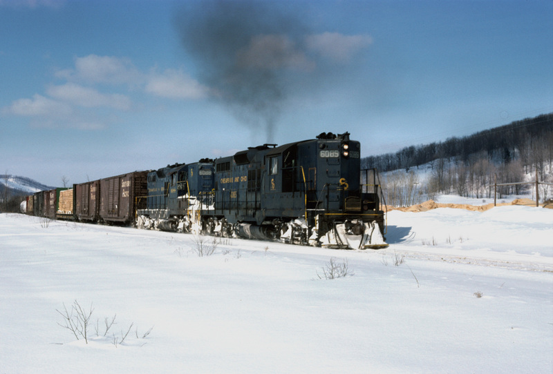
Map info: Top, USGS Map showing the former BCG&A line and wye. 2nd photo, a MIGN leased C&O 608 pulls a train south of Boyne Falls near Moore in 1978. [Neil Plagens photo, Mark Andersen Collection]
Notes
Today, the area formally known as Moore is located at the edge of the Boyne Mountain Ski Resort and Boyne Mountain Airport.
Coordinates: 46.156472, -84.926398
Time Line
Bibliography
The following sources are utilized in this website. [SOURCE-YEAR-MMDD-PG]:
- [AAB| = All Aboard!, by Willis Dunbar, Eerdmans Publishing, Grand Rapids ©1969.
- [AAN] = Alpena Argus newspaper.
- [AARQJ] = American Association of Railroads Quiz Jr. pamphlet. © 1956
- [AATHA] = Ann Arbor Railroad Technical and Historical Association newsletter "The Double A"
- [AB] = Information provided at Michigan History Conference from Andrew Bailey, Port Huron, MI

